Regional and Historic Map Collection
Dublin Core
Title
Regional and Historic Map Collection
Description
The Regional and Historical Map Collection held by the Mansfield Library's Archives and Special Collections contains a wide variety of Montana maps ranging from historical to current. Examples include: topographic maps, orthophoto quads, geologic and hydrologic maps, National Forest and Wilderness maps, Forest Health Protection (PEST) maps, BLM Surface (land ownership) and Mineral Management maps, and Sanborn Company fire insurance maps.
Source
Information about the collection.Information about the collection.
Publisher
University of Montana, Mansfield Library, Archives and Special Collections
Collection Items
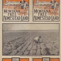
Montana Free Homestead Land, verso, pages 1 and 2.
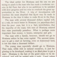
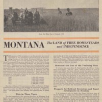
Text on Montana counties where land is available.
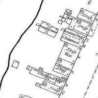
Sanborn Fire Insurance 1884 map of Missoula, page 1 (cropped)
This section of map shows the group of buildings lining the south side of Front Street along the Clark Fork in Missoula, Montana. As the descriptions of the building indicate, a number of dwellings lining Front Street were occupied by Chinese…
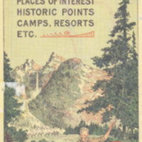
Missoula, the garden city of Montana : road maps, tourist's guide to places of interest, historic points, camps, resorts, etc, cover, pages 7 and 9.
Tourist map of the city of Missoula.

