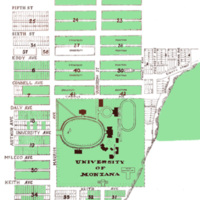
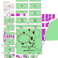
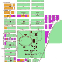
University of Montana-Missoula Campus Property Maps
Dublin Core
Title
University of Montana-Missoula Campus Property Maps
Subject
University of Montana (Missoula, Mont.)
Description
Maps showing campus property expansion over time. Created by Archives Specialist Carlie Magill using information gathered about university property acquisitions from Record Group 001, President's Collection.
Creator
Carlie Magill
Source
Created 9/19/2011 using Photoshop CS and Hammond addition: No's 1-2-3-4-5 & 6 map, call number G4254.M5:2H3 1929 .M5 as a template
Date
1893-2011
Contributor
Archives & Special Collections, Maureen and Mike Mansfield Library, The University of Montana
Rights
Copyright to this collection is held by the Maureen and Mike Mansfield Library, The University of Montana-Missoula. This image may also be protected by copyright. Permission may be required for use. For further information please contact Archives and Special Collections.
Format
image/jpeg
Language
en
Type
image
Coverage
The University of Montana-Missoula campus
Still Image Item Type Metadata
Original Format
map
Physical Dimensions
4 x 5"
Files
Citation
Carlie Magill
, “University of Montana-Missoula Campus Property Maps
,” Archives and Special Collections - Maureen and Mike Mansfield Library, accessed January 9, 2026, http://exhibits.lib.umt.edu/omeka/items/show/927.
,” Archives and Special Collections - Maureen and Mike Mansfield Library, accessed January 9, 2026, http://exhibits.lib.umt.edu/omeka/items/show/927.
Image Viewer
Click below to view an image using the Zoom.it viewer.


