Dublin Core
Title
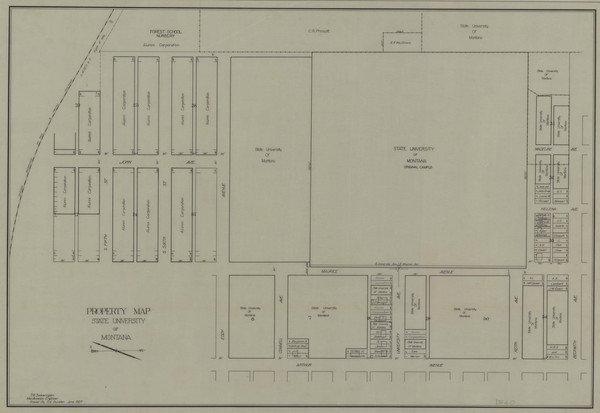
Property Map State University of Montana
Subject
University of Montana (Missoula, Mont.); grounds; land
Description
Map showing land owned by the university within the original Carsley-Gilbert, also shows land that is privately owned within the plan.
Creator
T.G. Swearingen
Source
Digitized on 9/14/2011, originals were scanned in color at 400 dpi on a Colortrac 5480e large format scanner and saved as TIFF files. JPEG derivatives were made from the original TIFFS using Photoshop.
Date
June 1927
Contributor
Archives & Special Collections, Maureen and Mike Mansfield Library, The University of Montana
Rights
Copyright to this collection is held by the Maureen and Mike Mansfield Library, The University of Montana-Missoula. This image may also be protected by copyright. Permission may be required for use. For further information please contact Archives and Special Collections.
Format
image/jpeg
Language
en
Type
image
Coverage
The University of Montana-Missoula campus
Still Image Item Type Metadata
Library Call Number
RG 39, Map Drawer X-1, 2004-18 Property Maps
Original Format
plan
Physical Dimensions
12 x 8"
Image Viewer
Click below to view an image using the Zoom.it viewer.

